ABOUT THIS BOOK
PUBLISHER: HarperCollins Publishers
FORMAT: Paperback
ISBN: 9780008203092
RRP: £8.99
PUBLICATION DATE:
February 9, 2017
BUY THIS BOOK
As an Amazon Associate and Bookshop.org affiliate we earn from qualifying purchases.
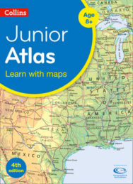
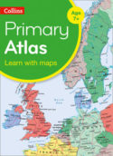
Collins Junior Atlas
Collins Maps
An ideal world reference atlas for young primary school geographers aged 9-11 years at Keystage 2. Published in association with the Geographical Association, enabling students to learn about the world today by exploring clear and engaging maps, study satellite imagery, understand key facts and statistics, and learn how maps and atlases work. * The atlas is organised into sections covering the UK, Europe, the world and continents with more detailed larger scale maps of countries and regions popular for focus studies. * This atlas has topographical based mapping which helps the young geographer understand the processes which take place during the formation of the earth’s landscapes. * The reference mapping is designed for maximum clarity and accessibility, and is supported by photographs and data boxes, with detailed map keys and scale information on each map. * Specially selected topic maps give additional information linking to knowledge and understanding of distant places. * Tables of key world country data include an Ecological Footprint figure for each country.
Collins Maps
Explore the world through accurate and up-to-date mapping.
ALSO ON BOOKS FROM SCOTLAND
-

David Robinson Reviews: The Loch of the Bees
‘The past’s current flows through the characters in his fiction so strongly that it almost becomes t …
-

The Nightkeeper’s Apprentice by Jude Reid
‘She’d never seen anything like it. The whole sky was lit up in ribbons of colour – blue, green, yel …
-

David Robinson Interviews: Gavin Francis
‘He’s not my GP so I can’t say this for sure, but based on this book – wise, informed, well-written, …
-
The Cromarty Library Circle by Shona MacLean
‘No one in the room could have been unaware of what it was that Dr Fraser alluded to. The horrors pe …
-
In Search of Gems by Kenneth Steven
‘It still amazes me that these magnificent shells grow in a river. Never mind whether they have pear …
-

Winterbourne by Elisabeth Wolf
‘The Coopers stared at each other for a second, two seconds. ‘It’s a sign—’ said Cooper.’
FEATURED AUTHOR:
Gavin Francis

Gavin Francis is an award-winning writer and GP. He is the author of four books of non-fiction, including Adventures in Human Being, which was a Sunday Times bestseller and won the Saltire Scottish Non-Fiction Book of the Year Award, and Empire Antarct …
FEATURED PUBLISHER:
Witherby Publishing Group

Witherby Publishing Group was established in 2008, initially as Witherby Seamanship Limited, through a merger between Witherbys Publishing and Seamanship International Ltd. The Witherby business dates back to 1740 when Thomas Witherby opened a statione …